
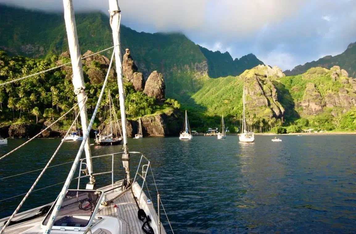
Welcome to the Marquesas Islands!
Are you planning to visit these islands and need a detailed Marquesas Islands Map?
Then you have come to the right place.
You can visit so many hidden locations, diving spots, and tours, but everything begins with a Marquesas Islands Google Map.
Dreaming of a French Polynesian vacation?
Fill in our SHORT FORM, and we will match you with trusted local tour operators who can build a personalized itinerary based on your STYLE, BUDGET, and TRAVEL DATES.
Our local partners create every itinerary with care. We kindly ask that you submit a request only if you’re considering traveling.
Detailed Marquesas Islands Map
INSIDER TIP: Click on the palm trees to explore the islands and access detailed information about each one!
This includes the northern and southern Marquesas Islands map.
|
Northern Marquesas |
Southern Marquesas |
|
Eiao |
|
|
Hatutu |
Fatu Huku |
|
Motu Iti |
|
|
Motu Oa |
Moho Tani |
|
Motu One |
Motu Nao |
|
Nuku Hiva |
Tahuata |
|
Terihi |
|
How to use the Marquesas Islands Map
1. Plan your itinerary step-by-step
The Marquesas Islands vary in size. The largest island, Nuku Hiva, spans 330 square kilometers (127 square miles), while others like Ua Pou and Hiva Oa are smaller.
Using the Marquesas Islands Map, you can:
- Pinpoint the closest snorkeling spots or barrier reefs to your resort.
- Find the best routes for exploring the lagoon by kayak or motorboat.
- Identify hidden gems, such as secluded beaches not listed in mainstream guides.
2. Save it for offline use
Mobile coverage can be unreliable on the outer motus. Download the map to your device before your trip to ensure you can access it even without the internet.
Google Maps makes it easy to save offline areas for seamless navigation.
3. Validate recommendations with reviews
In our map, you’ll find links to our other comprehensive guides for the specific destination.
Otherwise, you can check our map against reviews on Tripadvisor.

Simply fill in the form below to get a FREE QUOTE from trusted local travel specialists who know the islands inside out.
It only takes 60 seconds, and you’ll receive custom itineraries and pricing directly in your inbox or WhatsApp within
48 hours.
Free of charge. No pressure. No obligation.
*Our trusted local partners create every itinerary with care. We kindly ask that you submit a request only if you’re considering traveling.
What makes this Marquesas Islands Map essential for your trip?
This interactive Marquesas Islands Map (linked here) is not just a list of locations.
It’s a powerful tool to simplify your travels so you don’t miss any highlights.
The map features all the Marquesas Islands, including these major islands:
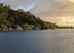
Nuku Hiva
The largest island in the Marquesas, Nuku Hiva, is a paradise for adventurers.
Its volcanic cliffs, lush valleys, and stunning waterfalls, such as Vaipo Falls, create a rugged beauty.
Nuku Hiva is also home to ancient archaeological sites like Tahua To’ata and the famous Tiki Tuhiva statue.
Hiva Oa
Known as the “Garden of the Marquesas,” Hiva Oa is rich in both natural beauty and cultural heritage.
It is the final resting place of famed artist Paul Gauguin and Belgian singer Jacques Brel, whose graves can be found in the Calvary Cemetery overlooking the ocean.
You can also explore ancient Tiki statues, some of the largest in the South Pacific.

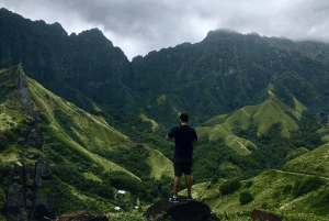
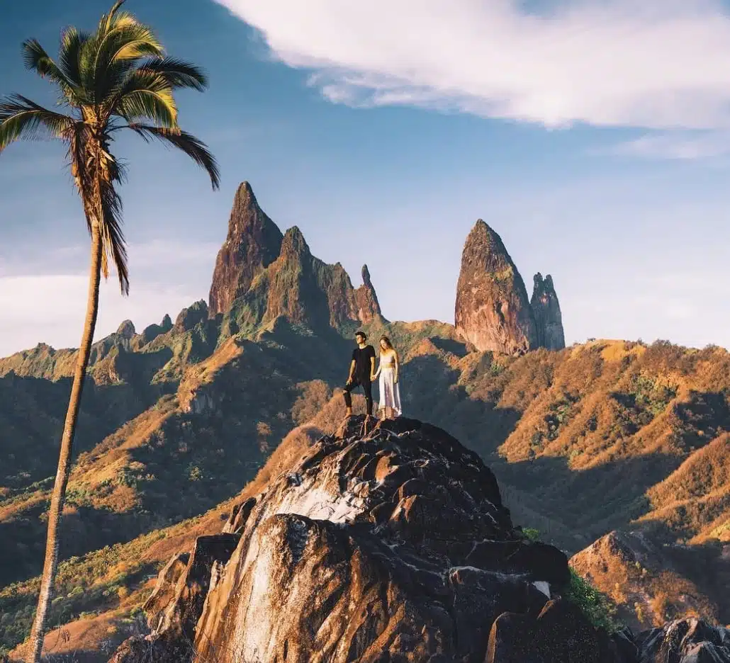
Ua Pou
Ua Pou is recognized by its basalt peaks that pierce the sky, resembling ancient Polynesian spears.
This island is perfect for hikers and photographers looking for breathtaking views of its volcanic spires and coastal landscapes.
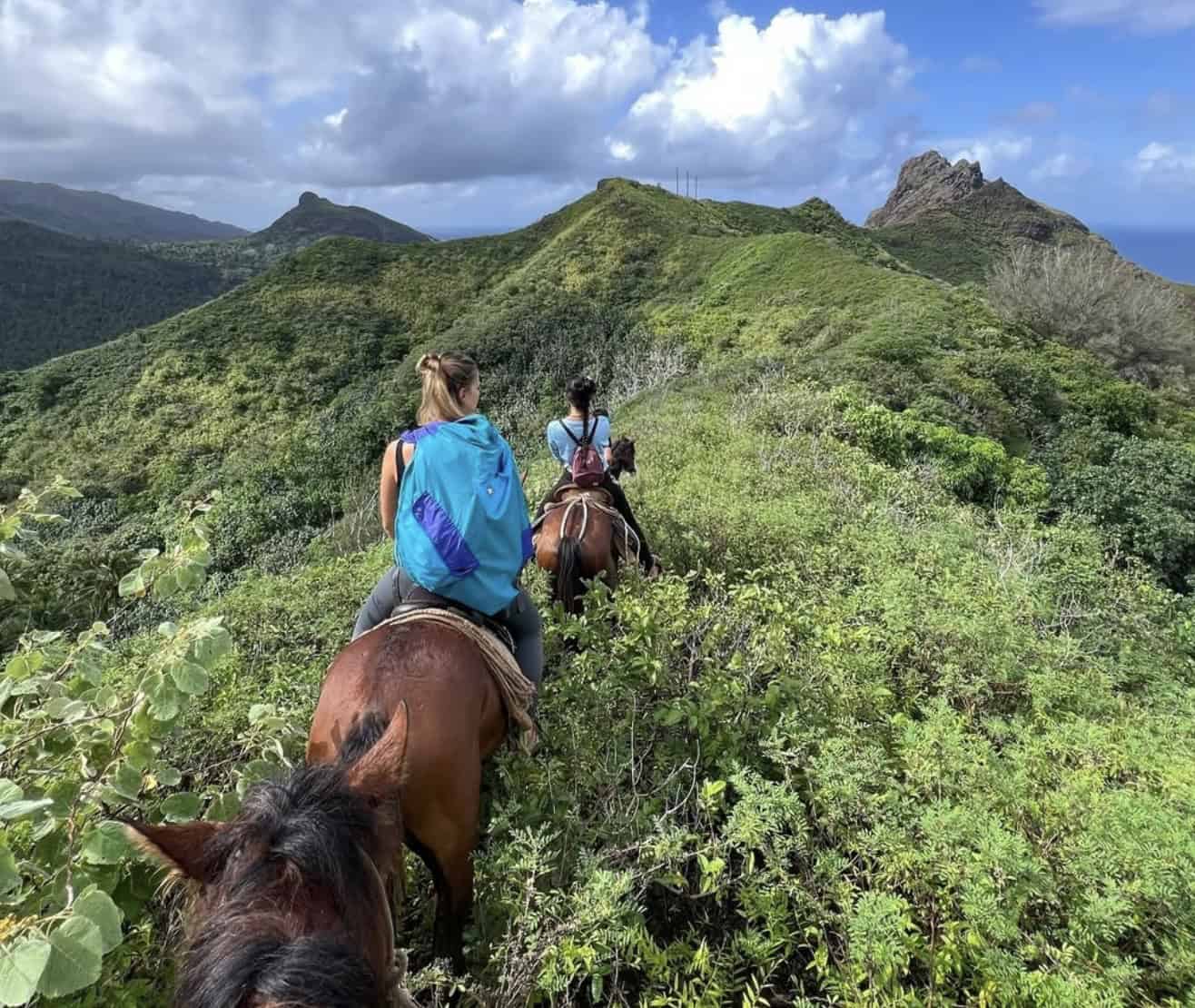
Ua Huka
For a more off-the-beaten-path experience, Ua Huka offers rugged terrain, wild horses, and stunning coastal cliffs.
Known for its wood-carving artisans, this island has a rich cultural scene that reflects traditional Marquesan artistry.
Fatu Hiva
Fatu Hiva is the most remote of the Marquesas Islands, offering natural beauty and serenity.
Its Bay of Virgins (Hanavave Bay) is considered one of the most beautiful bays in the world, with sheer cliffs rising dramatically from turquoise waters.
This island is also famous for its traditional tapa cloth making and vibrant village life.
Tahuata
The smallest of the inhabited Marquesas Islands, Tahuata is known for its pristine beaches and rich cultural history.
You can explore the island’s Catholic church, adorned with intricate carvings and stained glass, or relax on its secluded white-sand beaches.
Hand-carved jewelry from Tahuata is a must-buy souvenir.
Where are the Marquesas Islands in the world?
The Marquesas Islands are a remote and rugged group of islands located in the South Pacific Ocean, part of the French Polynesia territory.
They lie 1,400 kilometers (870 miles) northeast of Tahiti and 4,800 kilometers (3,000 miles) southeast of Hawaii.
The Marquesas are known for their volcanic landscapes, peaks, and valleys, a stark contrast to the turquoise lagoons of other Polynesian islands like Bora Bora and Moorea.
Geographic Coordinates
The coordinates of the Marquesas Islands are from 7°50′ S latitude to 10°35′ S latitude and 138°25′ W longitude to 140°50′ W longitude, depending on the specific island in the archipelago.
Country and Territory
The Marquesas Islands are part of French Polynesia, a French overseas collectivity. This status ties them politically and administratively to France while allowing for local governance.
The local currency in French Polynesia is the French Pacific Franc (XPF), though prices are often quoted in euros (EUR) and USD for visitors.
Simply fill in the form below to get a FREE QUOTE from trusted local travel specialists who know the islands inside out.
It only takes 60 seconds, and you’ll receive custom itineraries and pricing directly in your inbox or WhatsApp within
48 hours.
Free of charge. No pressure. No obligation.
*Our trusted local partners create every itinerary with care. We kindly ask that you submit a request only if you’re considering traveling.